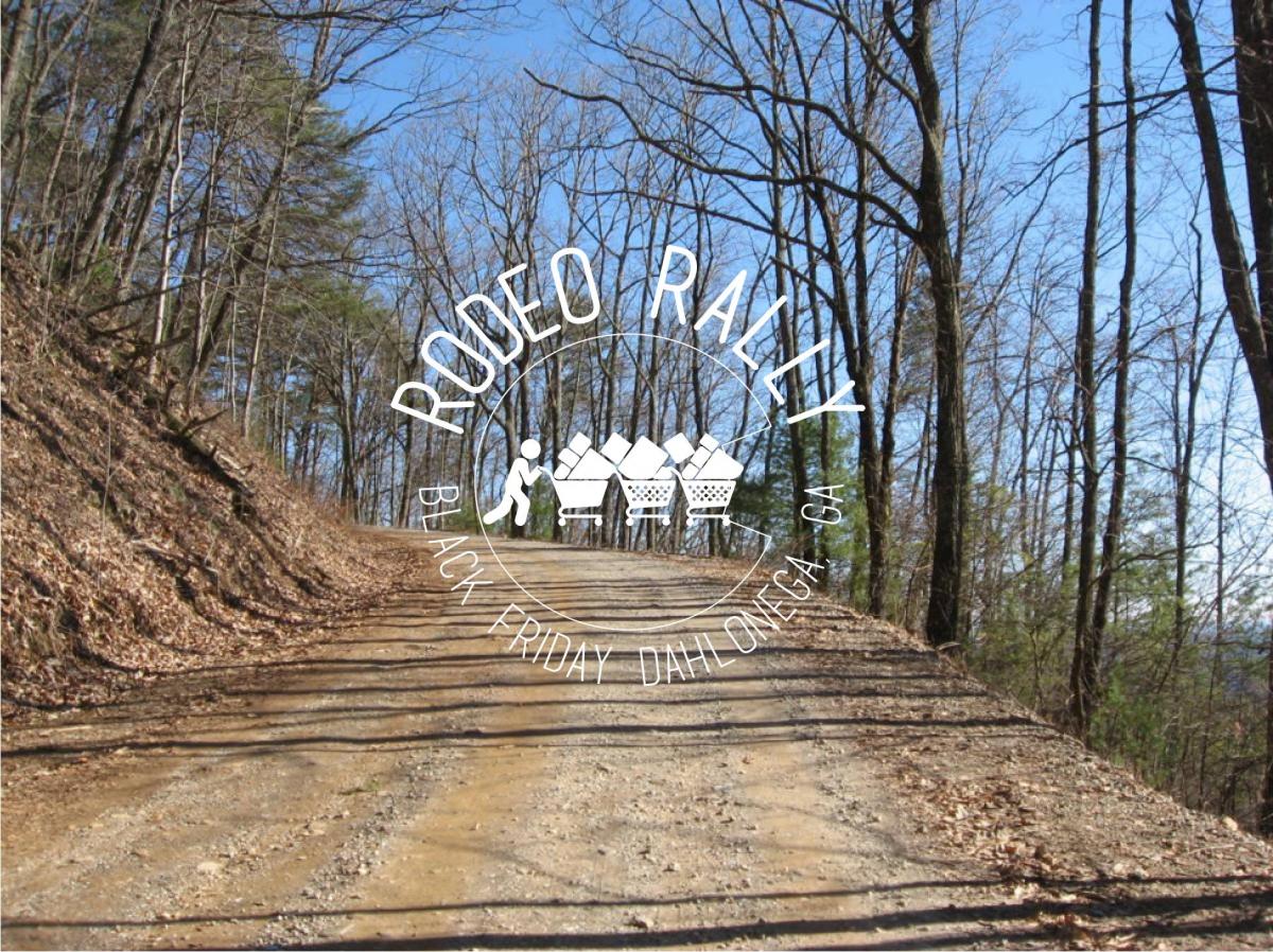
Better than shopping… Hosted by Rodeoer Mike Smith aka “Donkeyslayer”
has put together a great open invite ride in his native territory and we are helping to spread the word.
(questions should go to mike at wwmd (at) comcast.net)
November 29, 2019
Location: Dahlonega, GA
Ride Start: Jake Mtn. Parking Lot
Ride Time 8:30am
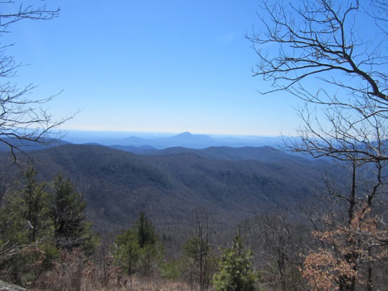
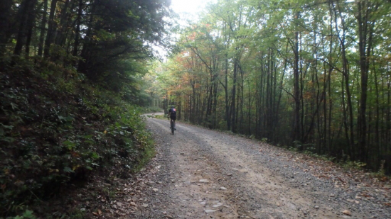
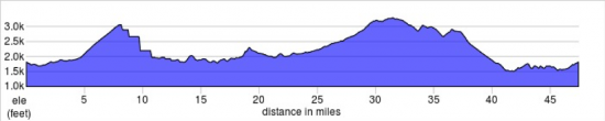
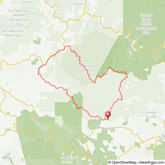
Black Friday Rodeo Rally welcomes you to ride 47.3 miles with us amid North Georgia’s Blue Ridge WMA dirt roads, forests, streams and mountains instead of hordes of pushy shoppers, fake mall Santa’s and cheeseballs and summer sausages. The route is a good mix of gravel/pave (70/30) ranging from flat and smooth to remote forest service roads. Oh, and don’t mind the little climbs up Nimblewill and Cooper Gap they will give you plenty of time to look within….
The concept is simple; we lay out a course, give you directions via GPX/TCX files and it’s up to you to find your way from the start to the finish. Ride with a group or go as fast as you like. No one is coming to change your flat tire. Everything you do is up to you. It’s like a really long group ride. No support. No sag. No aid stations. Just you, your bike and the gravel in front of you. There is no entry fee. None. Zero. Zip. Join us for a post ride REFUEL in the parking lot.
This is NOT an easy route – approx. 4-5hr ride time.
Nitty Gritty:
- Entry Fee – $0
- Start Time- 8:30am
- This is not a race – it is a Rally – Duh!
- The route is 47 miles with 5500ft gain
- Recommended tire width >35 tubeless
- This is a self-supported event with no store stops. Be prepared to carry what you need.
- After-Party 1-4pm – Bring a lawn chair and a cooler if you want to hang out.
Route File:
Ride with GPS Route: https://ridewithgps.com/routes/26648832
Strava Route: https://www.strava.com/routes/16867736
Fine Print:
There will be no visible markers for the course – not marked at all. Do your homework ahead of time and load the course to a gps device – duh!
GPS error, off course, etc. is part of the experience most devices/mapping software are reliable but they all have quirks. Have a plan B.